Timeline
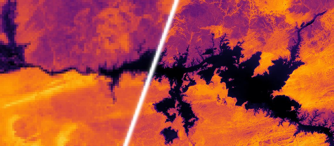
Nov. 1, 2018, 5 a.m. UTC
June 1, 2019, 6 a.m. UTC
Data
Origin of the data
We collected satellite data from the PROBA-V mission of the European Space Agency from 74 hand-selected regions around the globe at different points in time. The data is composed of radiometrically and geometrically corrected Top-Of-Atmosphere (TOA) reflectances for the RED and NIR spectral bands at 300m and 100m resolution in Plate Carrée projection. The 300m resolution data is delivered as 128x128 grey-scale pixel images, the 100m resolution data as 384x384 grey-scale pixel images. The bit-depth of the images is 14, but they are saved in a 16-bit .png-format (which makes them look relatively dark if opened in typical image viewers).
Each image comes with a quality map, indicating which pixels in the image are concealed (i.e. clouds, cloud shadows, ice, water, missing, etc) and which should be considered clear. For an image to be included in the dataset, at least 75% of its pixels have to be clear for 100m resolution images, and 60% for 300m resolution images. Each data-point consists of exactly one 100m resolution image and several 300m resolution images from the same scene. In total, the dataset contains 1450 scenes, which are split into 1160 scenes for training and 290 scenes for testing. On average, each scene comes with 19 different low resolution images and always with at least 9. We expect you to submit a 384x384 image for each of the 290 test-scenes, for which we will not provide a high resolution image.
- Märtens M., Izzo D., Krzic A. and Cox D. "Super-resolution of PROBA-V images using convolutional neural networks." Astrodynamics 3.4 (2019): 387-402. (arxiv version)
Changes in landscape
The images have been recorded within a time window of 30 days. As such, the scenes are not always permanent but can change marginally.
Image registration
The images are delivered as recorded by PROBA-V and have not been modified to align with each other. While the mean geolocation accuracy of PROBA-V is about 61m, (sub)-pixelshifts in the content occur and are - in a sense - necessary to perform super-resolution. Thus, the dataset itself is not corrected for these shifts and none of the images are registered to each other. The scoring will take pixel-shifts of the high resolution image into account, as registration cannot be computed by the participant for the test-set.
Download the data
The data for this competition can be downloaded as a compressed zip file (675MB).
Contents
The zip file is organized as follows:
train/NIRimages from the NIR channel of PROBA-V for trainingtrain/REDimages from the RED channel of PROBA-V for trainingtest/NIRimages from the NIR channel of PROBA-V to produce the submissiontest/REDimages from the RED channel of PROBA-V to produce the submissionnorm.csv\(cPSNR\) of a baseline solution which is used to normalize the submissions (see scoring)
Each scene is saved in a separate folder, named imgsetxxxx, where xxxx is a running number from 0000 to 1449. Each scene in the training folders contains the following file:
HR.png: high resolution image (ground truth for super-resolution)SM.png: status map ofHR.png, indicating clear pixels by a value of 1LRXXX.png: low resolution imageQMXXX.png: status map ofLRXXX.png, indicating clear pixels by a value of 1
The scenes in the test folders are structured the same, but do not include HR.png as your task is to reconstruct it! They include however SM.png, so you know which pixels do count.